5/4 160± ACRES * CROPLAND * MEDFORD AREA * GRANT COUNTY, OKLAHOMA
MOLLIE & JOHN BYMASTER AUCTION
5/4 160± ACRES * CROPLAND * MEDFORD AREA * GRANT COUNTY, OKLAHOMA
Directions

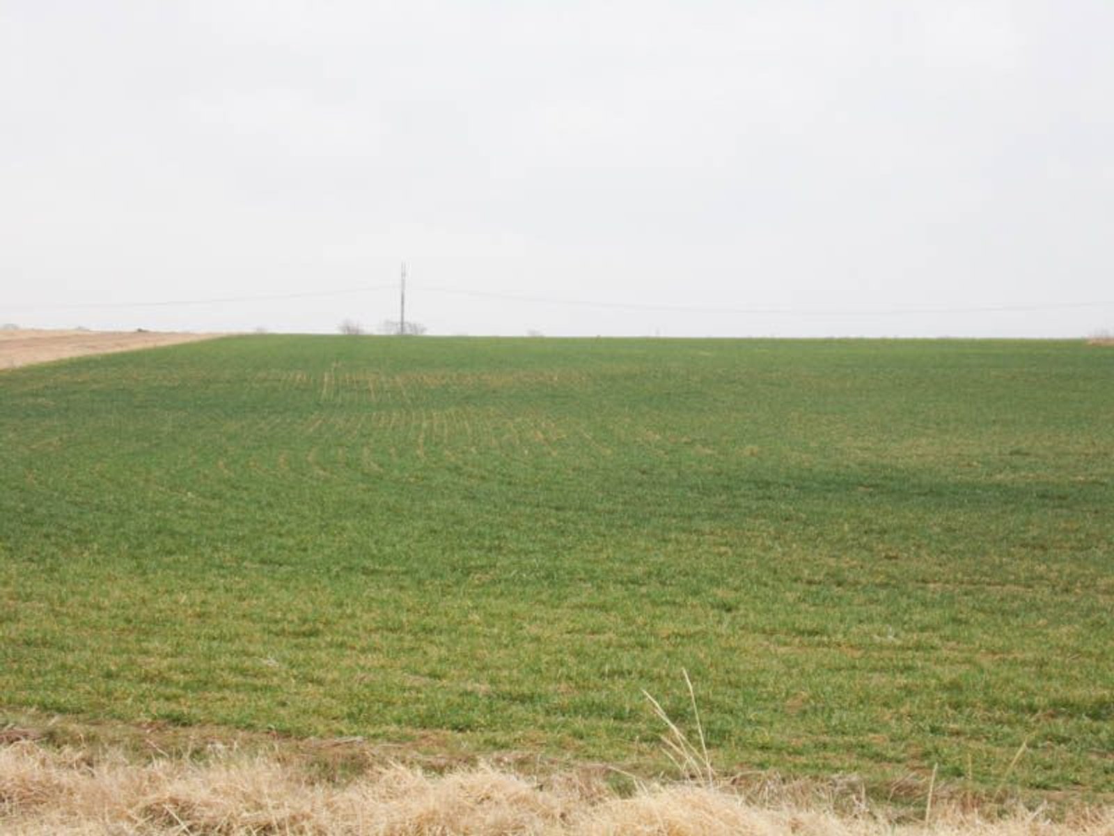
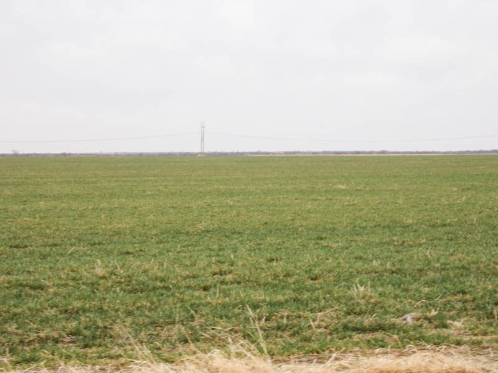
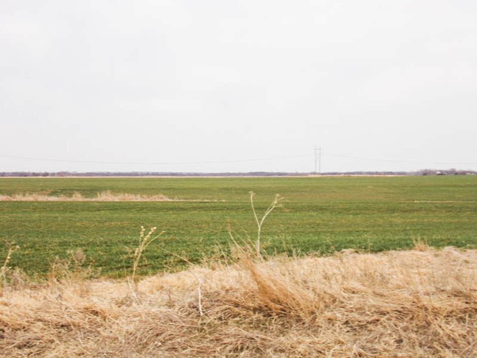
160± ACRES * CROPLAND * MEDFORD AREA * GRANT COUNTY, OKLAHOMA
MOLLIE & JOHN BYMASTER AUCTION
Wednesday May 4th 10:00AM
AUCTION LOCATION: OFF SITE, Civic Building 123 S Main St, Medford, OK 73759
Haskell Rd & CR 990 Medford OK 73759
from the intersection of Hwy 81 & 11 in Medford, Oklahoma, go 3 miles east to CR 990, then 1 mile south. Watch for signs
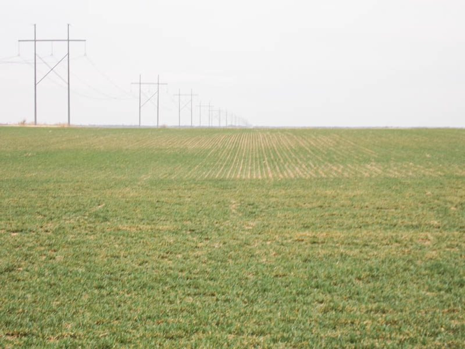
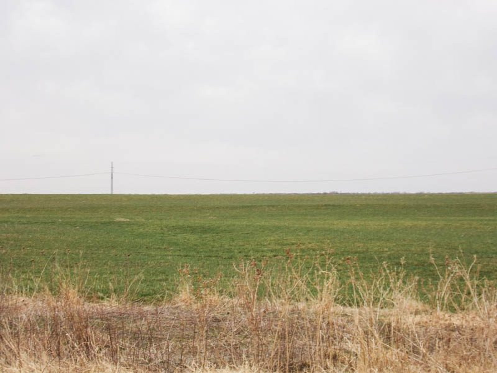
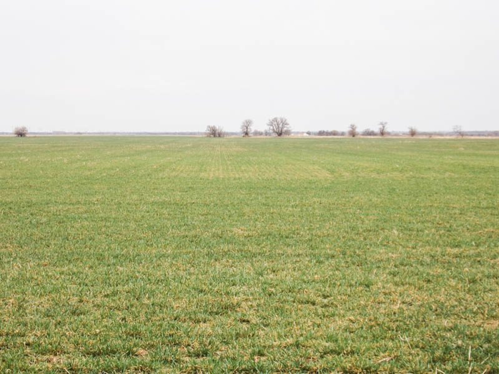
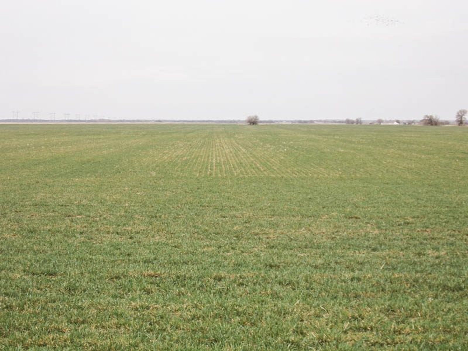
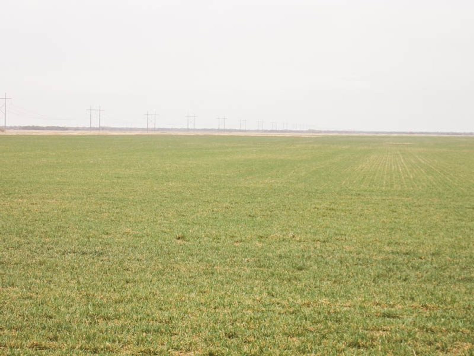
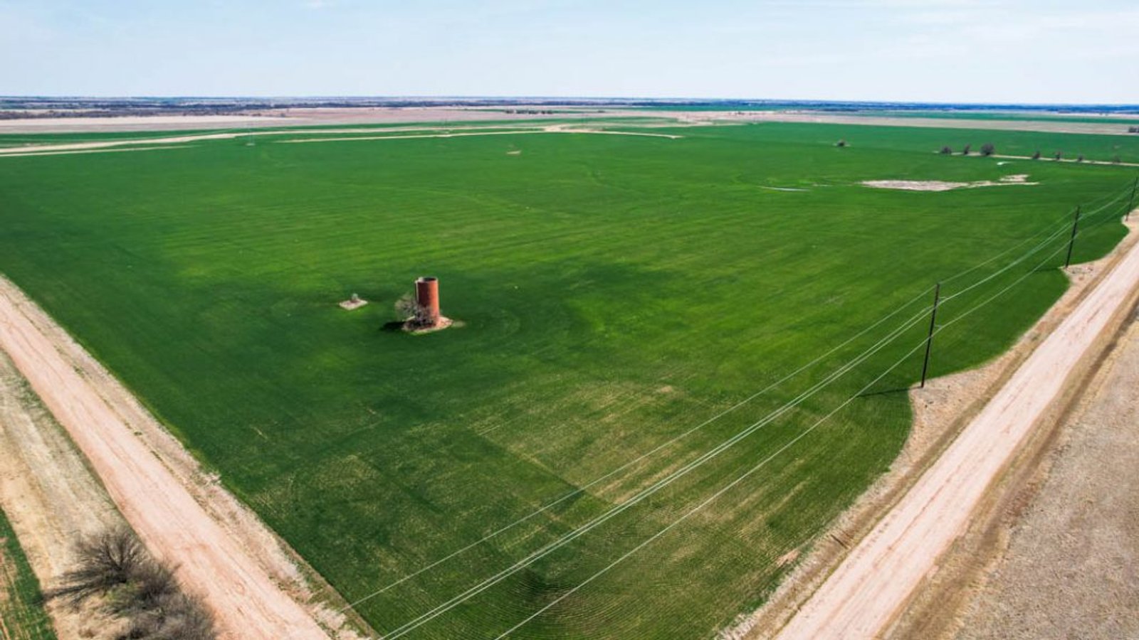
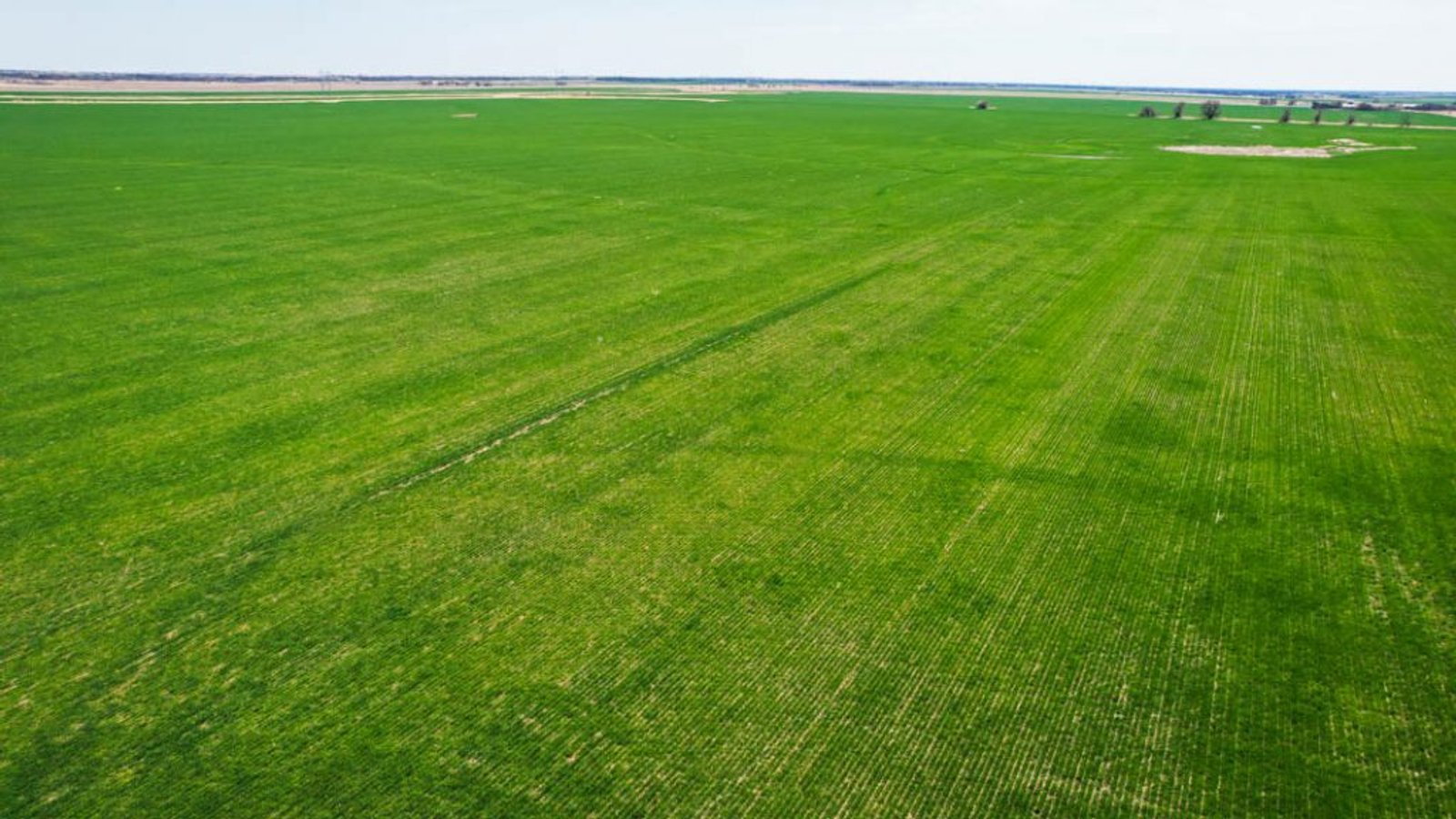
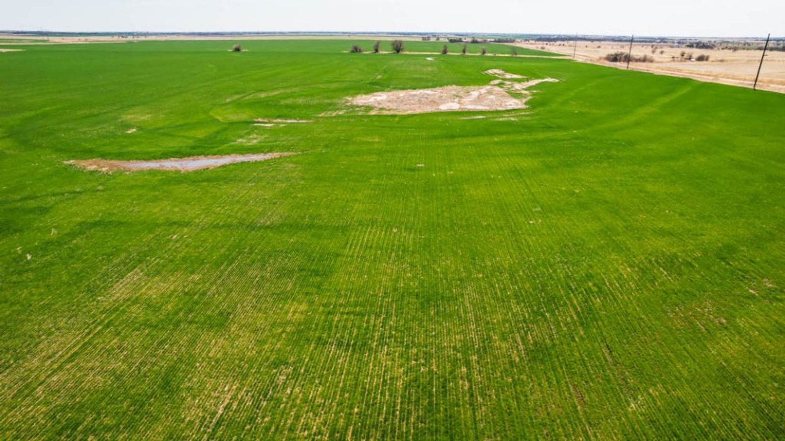
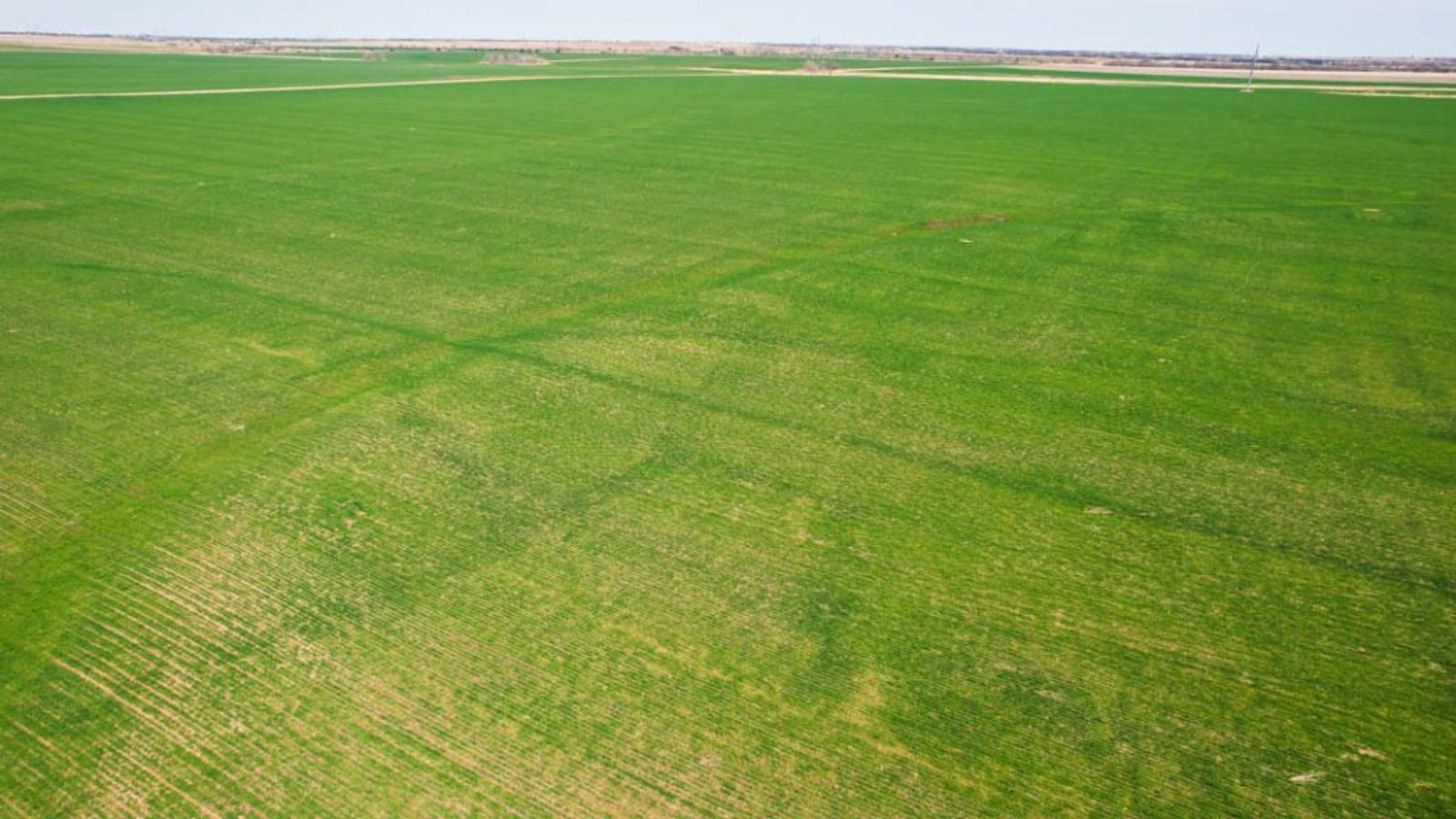
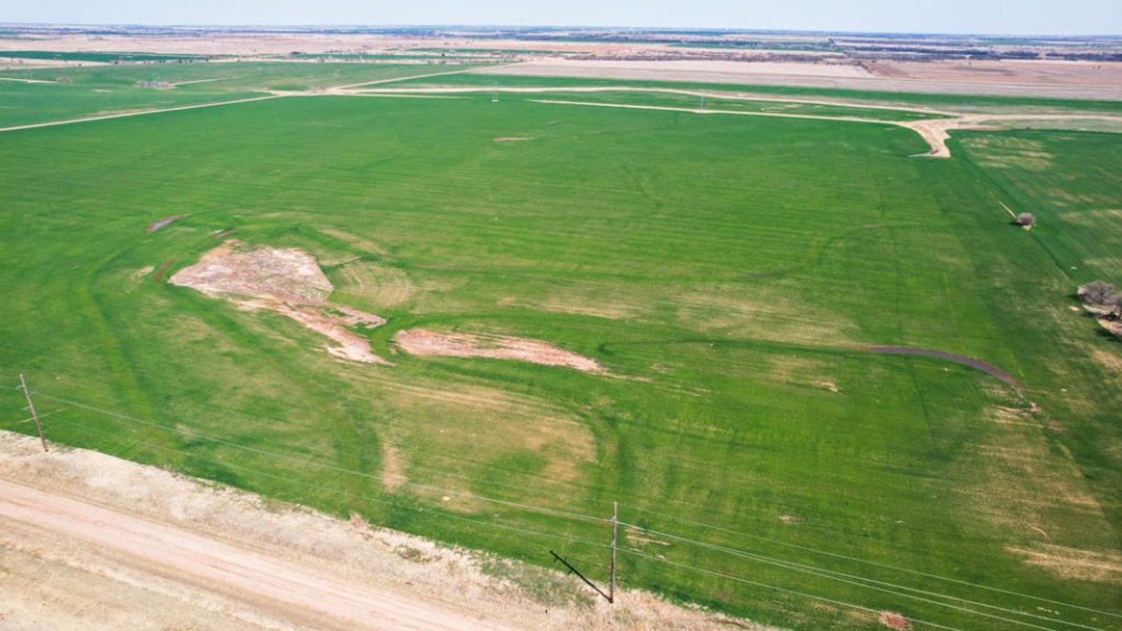
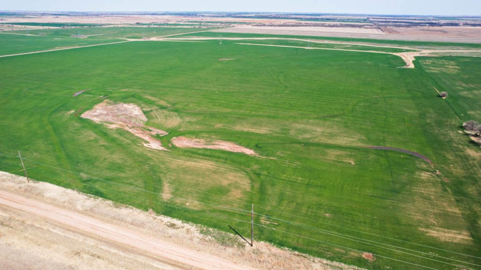
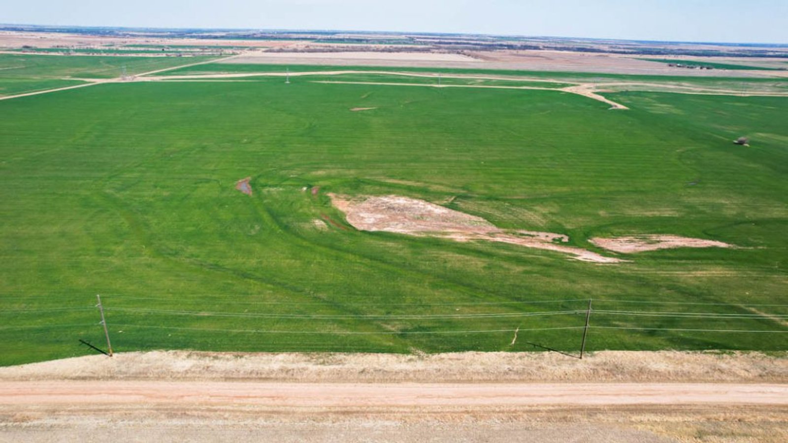
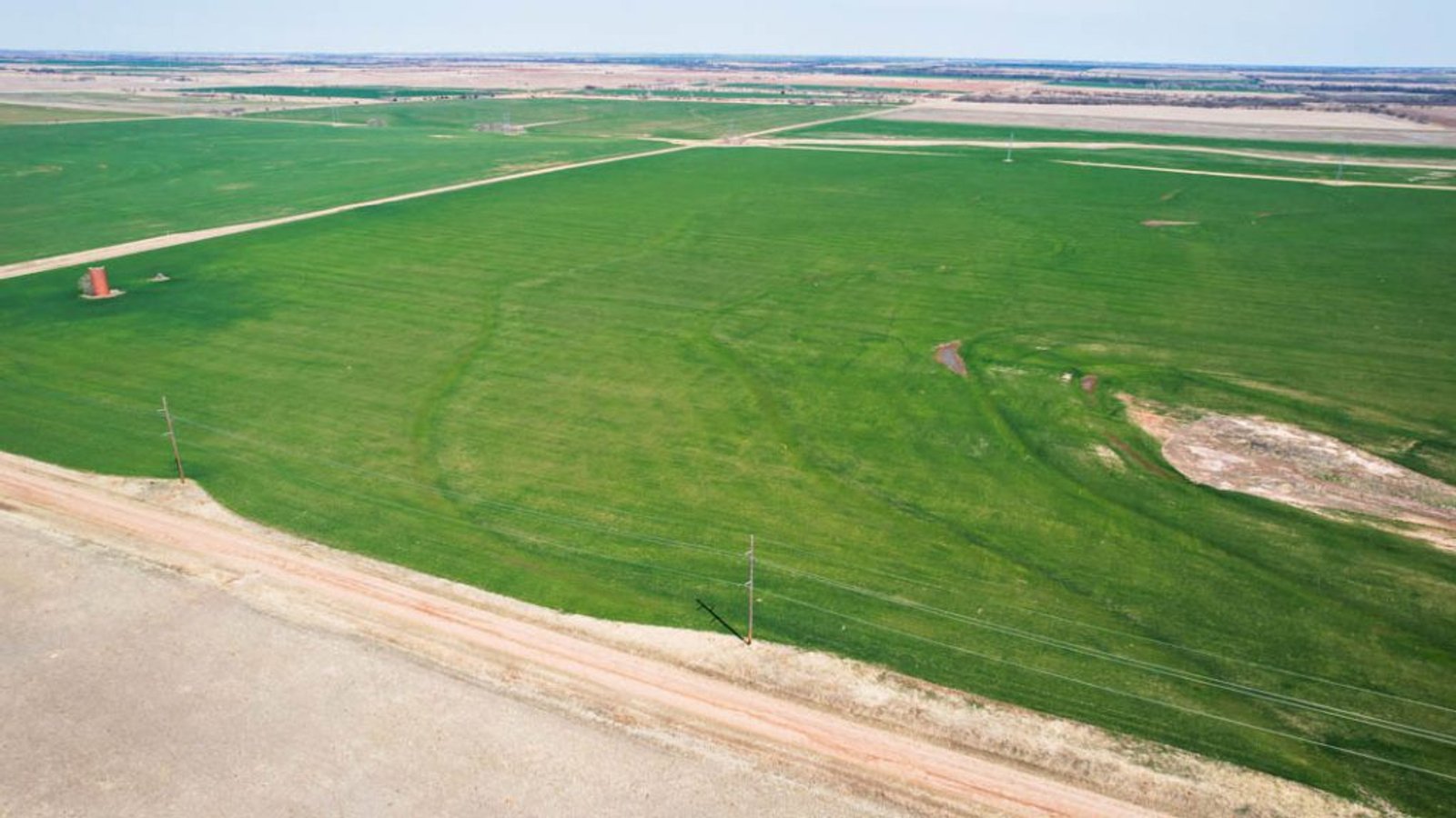
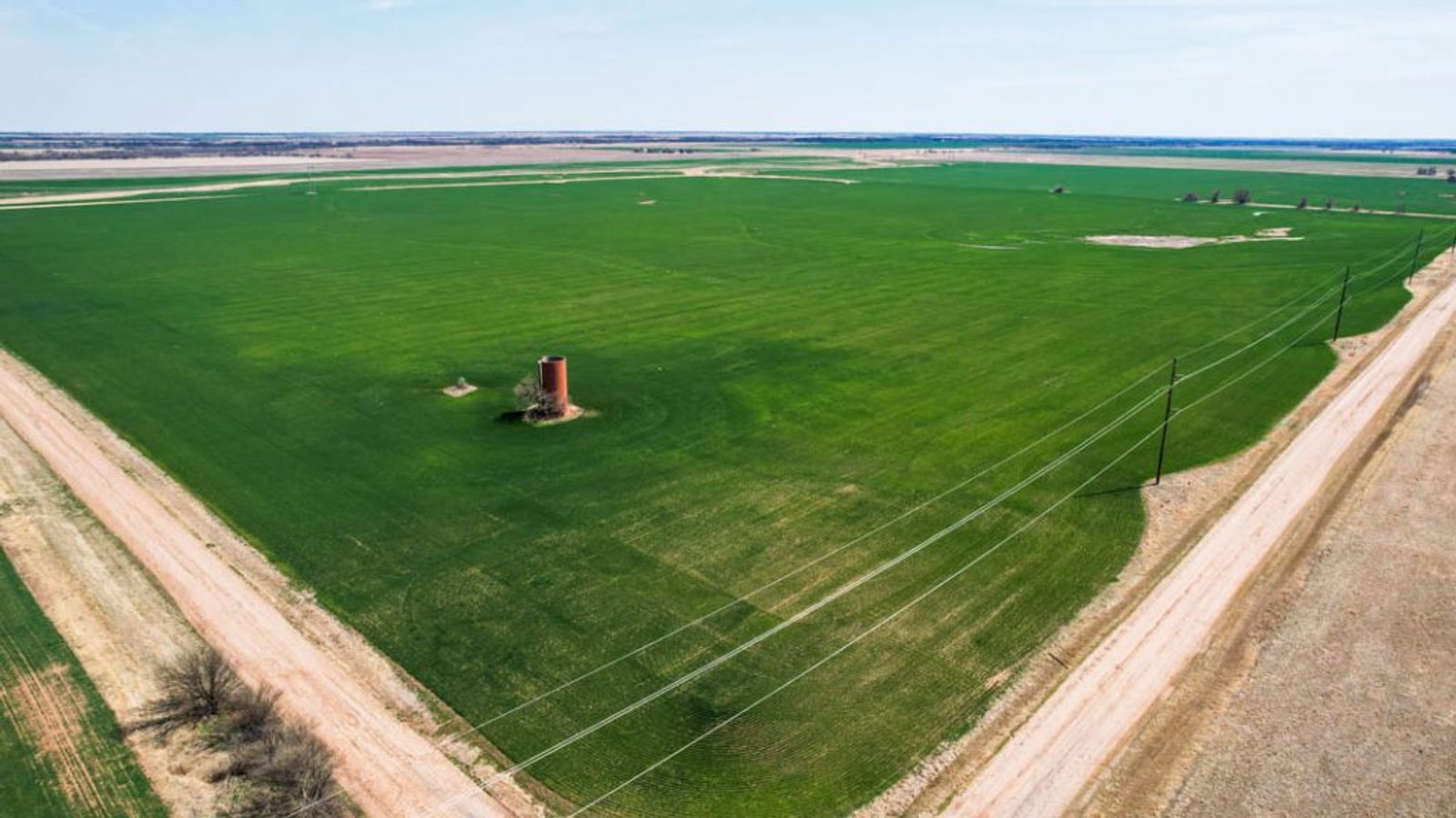
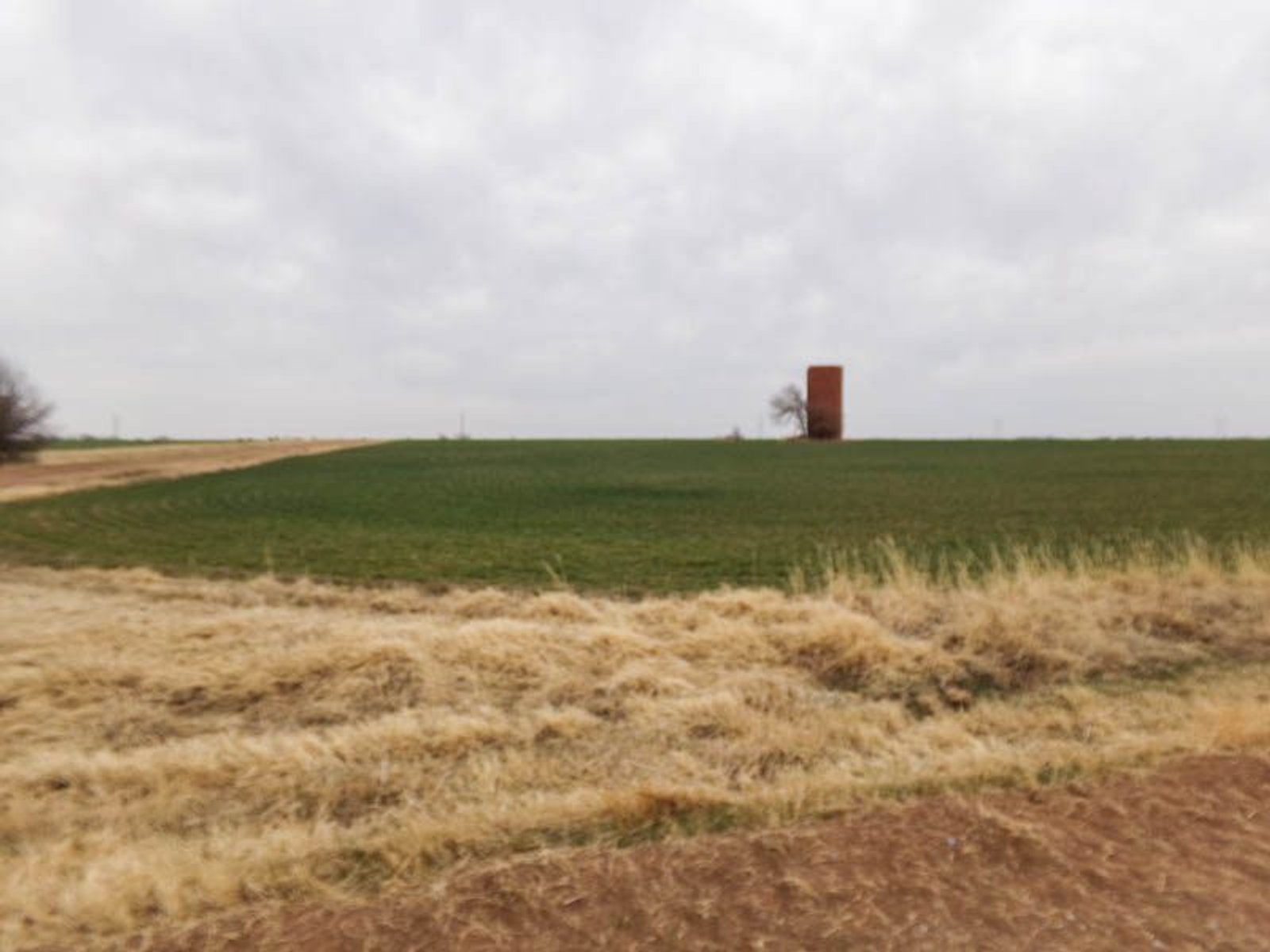
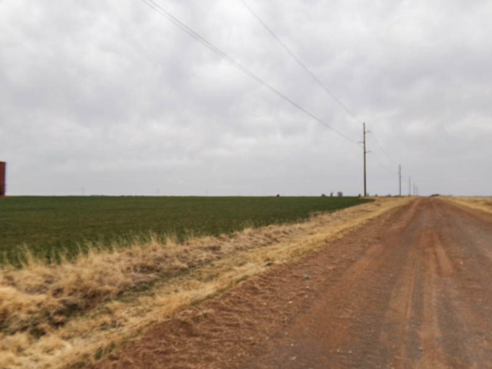
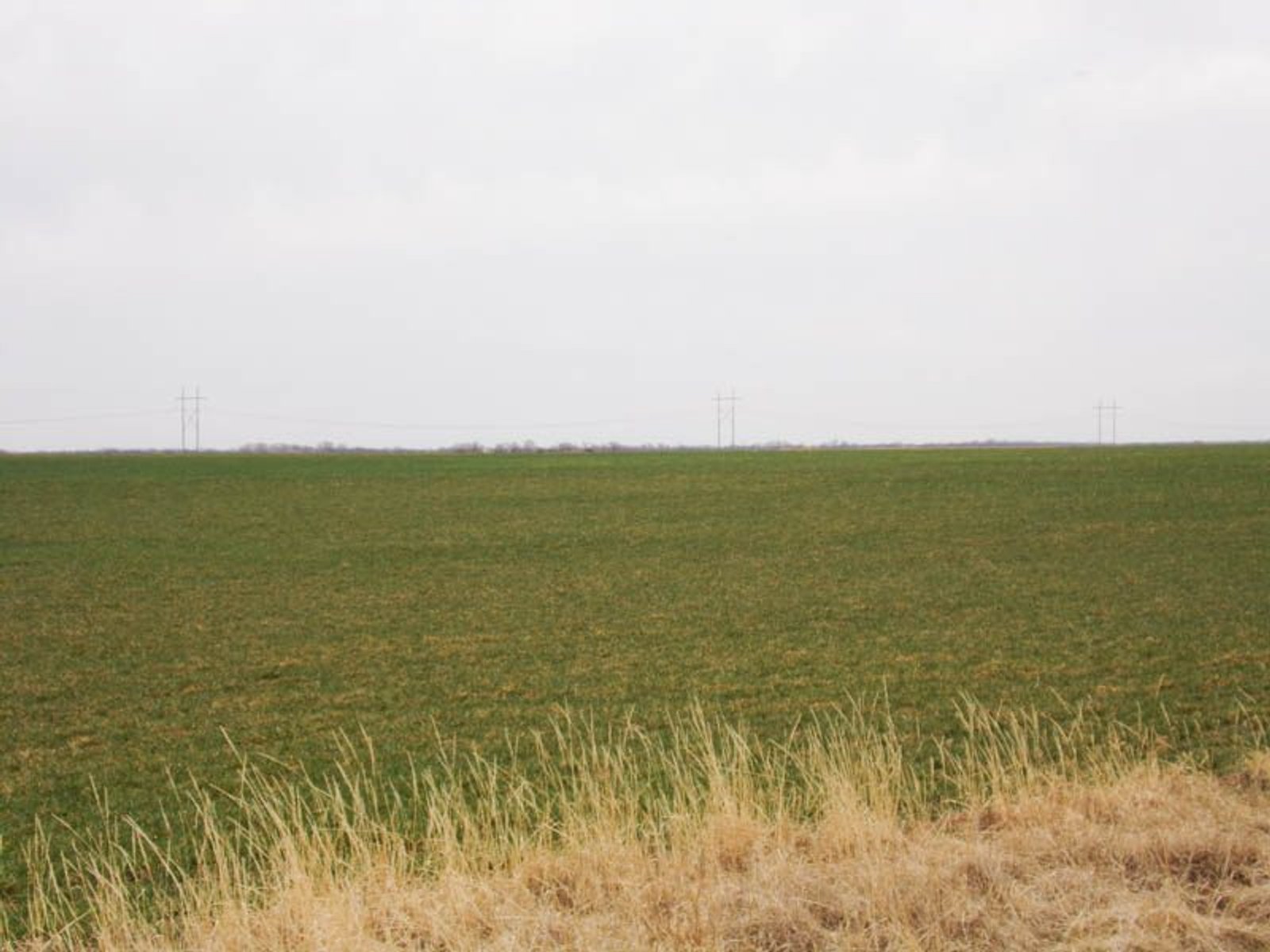
This very nice quarter section of land in nicely located just east of Medford, Oklahoma and only 1 mile off Highway 11. According the county F.S.A. office there is 154.19 DCP cropland acres with 152.50 wheat base and 32- bushel yield. The property lays very nicely with adequate drainage and is comprised of Tabler Silt Loam, 0-1% slopes, class II, Kirkland Silt Loam, 1-3% slopes, class II, Kirkland-Pawhuska complex, 0-3% slopes, class II and a small portion of Renfrow Silt Loam, 3-5% slopes, class IV.
Legal Description: NW/4 of Section (30), Township (27) North, Range (4), W.I.M. Grant County, Oklahoma
Taxes: $411.00
Possession: will be given after the harvest of the 2022 wheat crop. Seller will retain their 1/3 portion of the 2022 wheat crop share.
Minerals: selling surface rights only!
Pre-Auction Offers: No pre-auction offers will be accepted prior to auction date
Pre-Viewing Property: can be done during daylight hours, please do not drive on any crops.
Internet Bidding: will be available by clicking online bidding link to register. Neither the Auction Company nor the Seller is responsible in the event of loss of internet signal by either side.
Terms: 10% of the total purchase price is to be taken day of the auction with the balance being due at closing. Sale is subject of confirmation by District Court.
Disclaimer: All information has been taken from sources believed reliable; however, no guarantee is being made by the auction company nor the seller. Bidders should satisfy themselves as to any inspections prior to bidding. Financing must be in order prior to bidding. Any announcements made the day of the auction shall supersede all marketing or comments.
SELLER: MOLLIE & JOHN BYMASTER